County Kerry, Ireland
Where wild nature meets ancient history
Your complete guide to Killarney — the National Park, heritage sites, food, activities and everything in between.
🌤
Loading weather…
County Kerry, Ireland
Your complete guide to Killarney — the National Park, heritage sites, food, activities and everything in between.
From glacial valleys to ancient monasteries, Michelin-recommended restaurants to mountain trails — explore it all.
Nature & Landscape
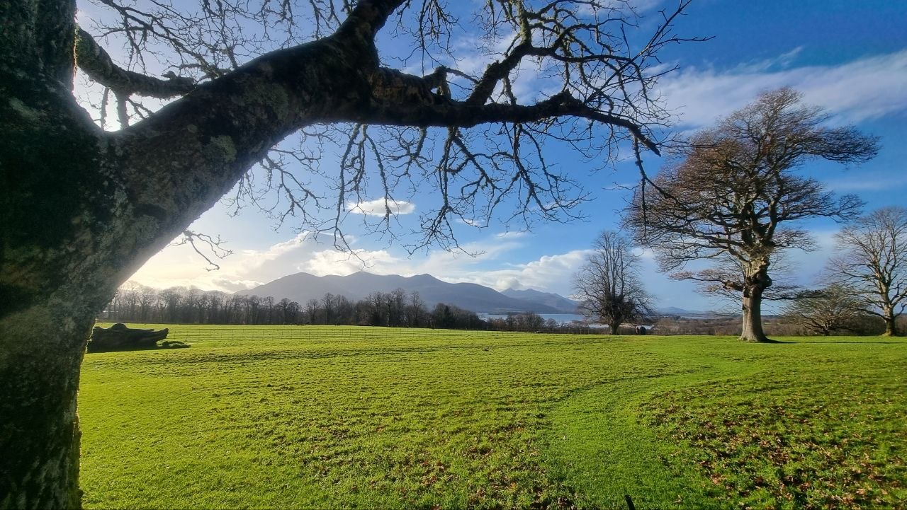
The National Park, three glacial lakes, the Gap of Dunloe, Torc Waterfall and Ireland's highest mountains — all within reach.
Explore nature →Celtic & Ancient History
A 7th century island monastery, 4,500-year-old copper mines, and ancient standing stones.
Explore heritage →Restaurants, Bars & Coffee
From traditional pub sessions to contemporary Kerry cuisine — the best of Killarney's food and drink scene.
Explore food →
Activities & Experiences
Hiking, cycling, golf, fishing, wellness and jaunting cars — there's something for everyone.
Explore activities →Annual Festivals
The Races, Wander Wild, Puck Fair, Pan Celtic — Killarney's calendar of unmissable annual events.
Explore events →Did you know?
Killarney National Park covers over 26,000 acres of ancient oak woodland, glacial lakes and mountain terrain. It was the first area in Ireland to be designated a UNESCO Biosphere Reserve and is home to the country's only remaining wild herd of native red deer.
Discover the Park →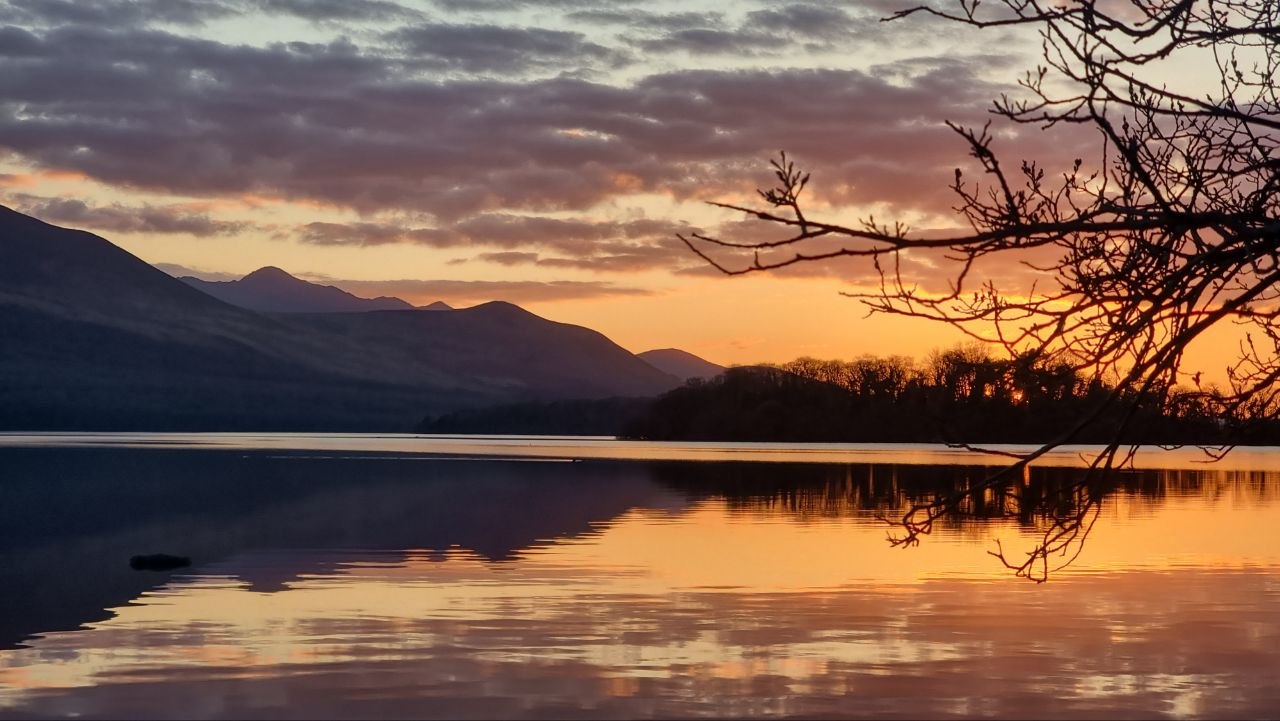
Events that happen every year — plan your visit around them.
Three days of horse racing, fashion and atmosphere at one of Ireland's most celebrated race meetings.
One of Ireland's oldest fairs — three days of music, street entertainment and ancient Celtic tradition.
Kerry's outdoor adventure and wellness festival — hiking, kayaking, yoga and wild swimming.